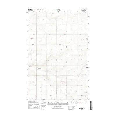
2017 Map of Wheeler NE
USGS Topo · Published 2017About this map
The high desert landscape of central Washington is defined by its characteristic coulees and a strictly organized section-line road network in this 2017 survey. The small settlement of Ruff sits on the eastern edge of the quadrangle, located near the intersection of several local routes such as RD 6 Ne. The terrain is marked by the distinct geological features of Rocky Coulee and Rocky Branch Coulee, which cut through the agricultural sections of the Columbia Basin.
Find a feature on this map
18 named features on this map. Tap any name to fly to it.
Don’t see what you’re looking for? This feature index may not catch every label — zoom into the map to look around manually.
Map Details
Editions of this 2017 Wheeler NE Map
This is the sole edition of this map. No revisions or reprints were ever made.
Other maps of this area

1923 · Wheeler
USGS Topo · 1:62,500

1925 · Wheeler
USGS Topo · 1:62,500

1925 · Schrag
USGS Topo · 1:62,500

1953 · Ritzville
USGS Topo · 1:250,000

1956 · Wheeler
USGS Topo · 1:24,000

1956 · Wilson Creek SW
USGS Topo · 1:24,000
1956 · Bassett Junction
USGS Topo · 1:24,000

1956 · Wheeler NE
USGS Topo · 1:24,000

1956 · Wilson Creek SE
USGS Topo · 1:24,000

1956 · Wilson Creek
USGS Topo · 1:62,500