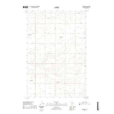
2020 Map of Wheeler NE
USGS Topo · Published 2020About this map
Schultz Memorial Cem sits in the northeastern corner of this Grant County landscape, providing a primary point of reference for genealogists and local historians studying the area. The terrain is defined by a rhythmic, undulating system of draws and ridges, primarily navigated by a strict grid of rural roads including Rd 11 Ne, Rd 9 Ne, and Rd 4 Ne. This geometric road network reflects the systematic land divisions of the Columbia Basin.
Find a feature on this map
16 named features on this map. Tap any name to fly to it.
Don’t see what you’re looking for? This feature index may not catch every label — zoom into the map to look around manually.
Map Details
Editions of this 2020 Wheeler NE Map
This is the sole edition of this map. No revisions or reprints were ever made.
Other maps of this area

1923 · Wheeler
USGS Topo · 1:62,500

1925 · Wheeler
USGS Topo · 1:62,500

1925 · Schrag
USGS Topo · 1:62,500

1953 · Ritzville
USGS Topo · 1:250,000

1956 · Wheeler
USGS Topo · 1:24,000

1956 · Wilson Creek SW
USGS Topo · 1:24,000
1956 · Bassett Junction
USGS Topo · 1:24,000

1956 · Wheeler NE
USGS Topo · 1:24,000

1956 · Wilson Creek SE
USGS Topo · 1:24,000

1956 · Wilson Creek
USGS Topo · 1:62,500