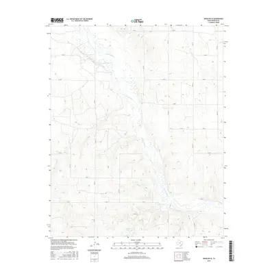
2016 Map of Wheeler SE
USGS Topo · Published 2016About this map
The N Fork Red River meanders diagonally across this corner of the Texas Panhandle, defining a landscape marked by sandy creek beds and wide, shallow drainage patterns. This 2016 survey captures the rural character of Wheeler County, where the topography transitions from the high plains into the river's erosion-cut valley. Smaller tributaries like Bronco Cr, Sand Cr, and Cole Creek feed the main river channel, while Wardlow Lake provides a localized water source in the southern reaches of the quadrangle.
Find a feature on this map
24 named features on this map. Tap any name to fly to it.
Don’t see what you’re looking for? This feature index may not catch every label — zoom into the map to look around manually.
Map Details
Editions of this 2016 Wheeler SE Map
This is the sole edition of this map. No revisions or reprints were ever made.
Other maps of this area

1954 · Amarillo
USGS Topo · 1:250,000

1958 · Amarillo
USGS Topo · 1:250,000

1962 · Twitty
USGS Topo · 1:24,000

1962 · Wheeler
USGS Topo · 1:24,000

1962 · Spring Creek
USGS Topo · 1:24,000

1962 · Wheeler SE
USGS Topo · 1:24,000

1962 · Pakan
USGS Topo · 1:24,000

1963 · Kelton NW
USGS Topo · 1:24,000

1963 · Ramsdell
USGS Topo · 1:24,000

1963 · Shamrock East
USGS Topo · 1:24,000