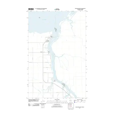
2011 Map of Wheelers Point
USGS Topo · Published 2011About this map
Rainy River defines the international boundary in this northern borderland, winding toward its mouth at the expansive Lake of Woods. At the tip of the peninsula, Wheelers Point serves as a significant recreational and transport hub, featuring the Baudette Flying Service Seaplane Base and the Lake of the Woods Campground. The geography here is dominated by the transition from riverine systems to the open water of the lake, with Pine Island visible to the north.
Find a feature on this map
29 named features on this map. Tap any name to fly to it.
Don’t see what you’re looking for? This feature index may not catch every label — zoom into the map to look around manually.
Map Details
Editions of this 2011 Wheelers Point Map
This is the sole edition of this map. No revisions or reprints were ever made.
Other maps of this area
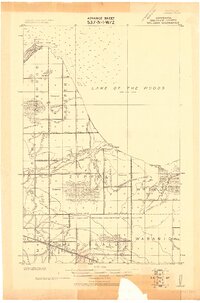
1918 · Williams
USGS Topo · 1:62,500
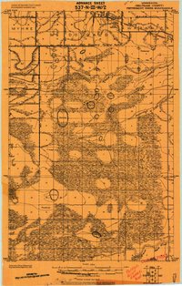
1919 · Peppermint Creek
USGS Topo · 1:62,500
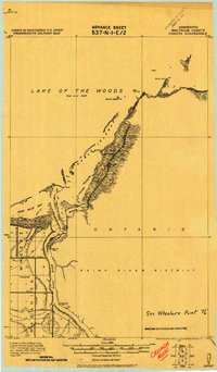
1919 · Canada
USGS Topo · 1:62,500
1921 · Baudette
USGS Topo · 1:62,500
1943 · Peppermint Creek
USGS Topo · 1:62,500
1954 · Roseau
USGS Topo · 1:250,000
1957 · Roseau
USGS Topo · 1:250,000
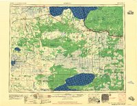
1958 · Roseau
USGS Topo · 1:250,000
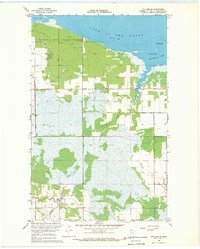
1967 · Williams SE
USGS Topo · 1:24,000
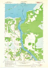
1967 · Wheelers Point
USGS Topo · 1:24,000