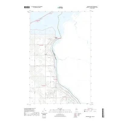
2019 Map of Wheelers Point
USGS Topo · Published 2019About this map
Wheelers Point stands at the strategic confluence where the Rainy River meets Fourmile Bay and Lake of the Woods, marking a significant point on the international border between the United States and Canada. This 2019 survey captures the developed waterfront and rural road network of Lake of the Woods County, where settlements like Hackett and the residential clusters of Wheelers Point serve as gateways to the vast northern waterways.
Find a feature on this map
44 named features on this map. Tap any name to fly to it.
Don’t see what you’re looking for? This feature index may not catch every label — zoom into the map to look around manually.
Map Details
Editions of this 2019 Wheelers Point Map
This is the sole edition of this map. No revisions or reprints were ever made.
Other maps of this area

1918 · Williams
USGS Topo · 1:62,500

1919 · Peppermint Creek
USGS Topo · 1:62,500

1919 · Canada
USGS Topo · 1:62,500

1921 · Baudette
USGS Topo · 1:62,500

1943 · Peppermint Creek
USGS Topo · 1:62,500

1954 · Roseau
USGS Topo · 1:250,000

1957 · Roseau
USGS Topo · 1:250,000

1958 · Roseau
USGS Topo · 1:250,000
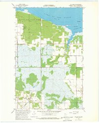
1967 · Williams SE
USGS Topo · 1:24,000
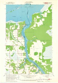
1967 · Wheelers Point
USGS Topo · 1:24,000