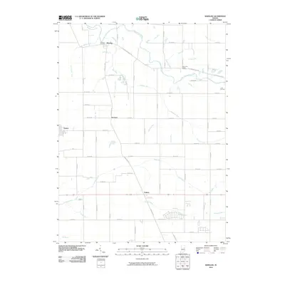
2010 Map of Wheeling
USGS Topo · Published 2010About this map
The Mississinewa River winds through the northern portion of this Delaware County landscape, providing the primary drainage for a region defined by its productive agricultural grid and scattered small communities. The settlement of Wheeling sits near the river's edge, supported by the historic W Eaton-Wheeling Pike, while the town of Gaston occupies the western margin. This map reveals a high density of named drainage features, including the Van Devender Ditch and Studebaker Ditch, which underscore the systematic land management required for local farming.
Find a feature on this map
62 named features on this map. Tap any name to fly to it.
Don’t see what you’re looking for? This feature index may not catch every label — zoom into the map to look around manually.
Map Details
Editions of this 2010 Wheeling Map
This is the sole edition of this map. No revisions or reprints were ever made.
Other maps of this area

1952 · Muncie East
USGS Topo · 1:24,000

1952 · Muncie West
USGS Topo · 1:24,000

1953 · Muncie
USGS Topo · 1:250,000

1956 · Muncie
USGS Topo · 1:250,000

1960 · Gilman
USGS Topo · 1:24,000

1960 · Hartford City East
USGS Topo · 1:24,000

1960 · Eaton
USGS Topo · 1:24,000

1960 · Wheeling
USGS Topo · 1:24,000

1960 · Gas City
USGS Topo · 1:24,000

1960 · Gaston
USGS Topo · 1:24,000