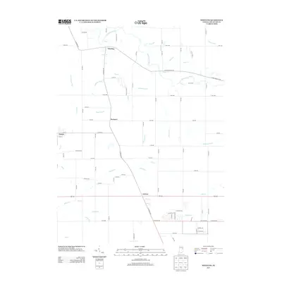
2013 Map of Wheeling
USGS Topo · Published 2013About this map
The Mississinewa River winds through the northern portion of this Indiana landscape, anchoring the small settlement of Wheeling. This region of Delaware County is defined by an extensive network of drainage channels and small tributaries, reflecting a managed agricultural hydrology designed to reclaim the fertile soil. Named waterways such as Studebaker Ditch, Hedgeland Ditch, and Holdren Ditch cut across the grid of county roads, while natural flows like Killbuck Cr and Champion Run drain the southern sections toward Anthony. In the west, the edge of Gaston appears, showing the transition from town blocks to the surrounding rural reaches. The map preserves a moment in the early 21st century where the traditional rural hamlet of Stockport persists amidst a landscape of family-named ditches and quiet runs, illustrating the long-term impact of local water management on Indiana's settlement patterns.
Find a feature on this map
78 named features on this map. Tap any name to fly to it.
Don’t see what you’re looking for? This feature index may not catch every label — zoom into the map to look around manually.
Map Details
Editions of this 2013 Wheeling Map
This is the sole edition of this map. No revisions or reprints were ever made.
Other maps of this area

1952 · Muncie East
USGS Topo · 1:24,000

1952 · Muncie West
USGS Topo · 1:24,000

1953 · Muncie
USGS Topo · 1:250,000

1956 · Muncie
USGS Topo · 1:250,000

1960 · Gilman
USGS Topo · 1:24,000

1960 · Hartford City East
USGS Topo · 1:24,000

1960 · Eaton
USGS Topo · 1:24,000

1960 · Wheeling
USGS Topo · 1:24,000

1960 · Gas City
USGS Topo · 1:24,000

1960 · Gaston
USGS Topo · 1:24,000