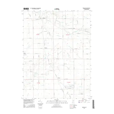
2016 Map of Wheeling
USGS Topo · Published 2016About this map
The Mississinewa River meanders across the northern portion of this Delaware County landscape, defining the topography around the settlement of Wheeling. This rural region is characterized by a sophisticated network of drainage ditches and small runs that have long supported the local agricultural economy, including Studebaker Ditch, Hedgeland Ditch, and Champion Run. These waterways reflect the historic efforts to manage the low-lying terrain for farming.
Find a feature on this map
90 named features on this map. Tap any name to fly to it.
Don’t see what you’re looking for? This feature index may not catch every label — zoom into the map to look around manually.
Map Details
Editions of this 2016 Wheeling Map
This is the sole edition of this map. No revisions or reprints were ever made.
Other maps of this area

1952 · Muncie East
USGS Topo · 1:24,000

1952 · Muncie West
USGS Topo · 1:24,000

1953 · Muncie
USGS Topo · 1:250,000

1956 · Muncie
USGS Topo · 1:250,000

1960 · Gilman
USGS Topo · 1:24,000

1960 · Hartford City East
USGS Topo · 1:24,000

1960 · Eaton
USGS Topo · 1:24,000

1960 · Wheeling
USGS Topo · 1:24,000

1960 · Gas City
USGS Topo · 1:24,000

1960 · Gaston
USGS Topo · 1:24,000