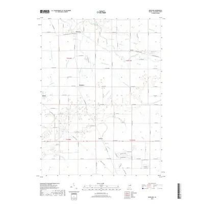
2019 Map of Wheeling
USGS Topo · Published 2019About this map
The Mississinewa River winds through this rural landscape north of Muncie, anchoring a network of waterways that have long defined Delaware County agriculture. The small settlement of Wheeling sits near the northern boundary, where the Wheeling Cem and Pike Cr mark the local topography. Further south, the community of Stockport and the edge of Gaston reflect the grid-based development of the Indiana countryside, connected by historic routes like the W Eaton Wheeling Pike.
Find a feature on this map
90 named features on this map. Tap any name to fly to it.
Don’t see what you’re looking for? This feature index may not catch every label — zoom into the map to look around manually.
Map Details
Editions of this 2019 Wheeling Map
This is the sole edition of this map. No revisions or reprints were ever made.
Other maps of this area

1952 · Muncie East
USGS Topo · 1:24,000

1952 · Muncie West
USGS Topo · 1:24,000

1953 · Muncie
USGS Topo · 1:250,000

1956 · Muncie
USGS Topo · 1:250,000

1960 · Gilman
USGS Topo · 1:24,000

1960 · Hartford City East
USGS Topo · 1:24,000

1960 · Eaton
USGS Topo · 1:24,000

1960 · Wheeling
USGS Topo · 1:24,000

1960 · Gas City
USGS Topo · 1:24,000

1960 · Gaston
USGS Topo · 1:24,000