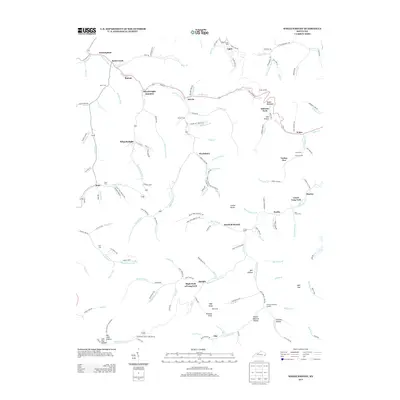
2013 Map of Wheelwright
USGS Topo · Published 2013About this map
Wheelwright and the neighboring community of Weeksbury anchor this topographic view of the coal country of eastern Kentucky. The landscape is defined by its deep branching hollows and the waterways that carved them, including Left Fork Beaver Cr and Otter Cr. Significant local history is preserved through numerous family and community burial grounds, such as Burke Cem, Tackett Cem, and the Fleming Memorial Gardens. The settlement pattern follows the narrow valley floors, where small communities like Melvin, Ligon, and Buckingham sit tucked between steep rises like High Knob and Potatoe Knob. This intricate network of "forks" and "branches" illustrates the traditional Appalachian geography where transportation and housing are inextricably tied to the creek beds and ridge lines, visible in the winding routes of Blue Branch Rd and Ligon Gap Rd.
Find a feature on this map
156 named features on this map. Tap any name to fly to it.
Don’t see what you’re looking for? This feature index may not catch every label — zoom into the map to look around manually.
Map Details
Editions of this 2013 Wheelwright Map
This is the sole edition of this map. No revisions or reprints were ever made.
Other maps of this area

1890 · Whitesburg
USGS Topo · 1:125,000

1892 · Whitesburg
USGS Topo · 1:125,000

1912 · Pound
USGS Topo · 1:48,000

1912 · Hindman
USGS Topo · 1:48,000

1913 · Oven Fork
USGS Topo · 1:48,000

1914 · Pound
USGS Topo · 1:62,500

1914 · Vergie
USGS Topo · 1:48,000

1915 · Hindman
USGS Topo · 1:62,500

1915 · Whitesburg
USGS Topo · 1:62,500

1916 · Pikeville
USGS Topo · 1:62,500