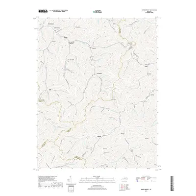
2019 Map of Wheelwright
USGS Topo · Published 2019About this map
Wheelwright and Weeksbury serve as the primary population centers in this densely dissected landscape where the borders of Floyd, Knott, Pike, and Letcher counties converge. The terrain is defined by an intricate network of narrow hollows and winding branches, such as Left Fork Beaver Cr and Abner Fork, which dictate the placement of roads and settlements. Local history is deeply embedded in the land through family-named landmarks and cemeteries, including the Tackett Cem and Osborne Cem near Wales. The presence of Johnson Coal Hollow and numerous mine-related road names like Mine Rd points to the region's industrial foundations. Higher elevations are marked by distinctive features like Potatoe Knob and Collier Rocks, while more modern commemorative sites such as Fleming Memorial Gardens near the southern border reflect the community's evolving landscape in the early 21st century.
Find a feature on this map
134 named features on this map. Tap any name to fly to it.
Don’t see what you’re looking for? This feature index may not catch every label — zoom into the map to look around manually.
Map Details
Editions of this 2019 Wheelwright Map
This is the sole edition of this map. No revisions or reprints were ever made.
Other maps of this area

1890 · Whitesburg
USGS Topo · 1:125,000

1892 · Whitesburg
USGS Topo · 1:125,000

1912 · Pound
USGS Topo · 1:48,000

1912 · Hindman
USGS Topo · 1:48,000

1913 · Oven Fork
USGS Topo · 1:48,000

1914 · Pound
USGS Topo · 1:62,500

1914 · Vergie
USGS Topo · 1:48,000

1915 · Hindman
USGS Topo · 1:62,500

1915 · Whitesburg
USGS Topo · 1:62,500

1916 · Pikeville
USGS Topo · 1:62,500