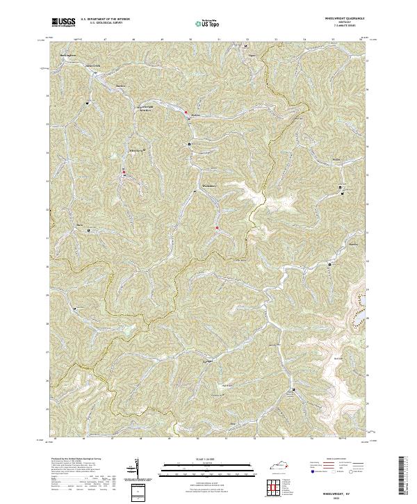
2022 Map of Wheelwright
USGS Topo · Published 2022About this map
Wheelwright and the neighboring coal camps of the Cumberland Plateau are the focus of this recent survey, capturing the intricate settlement patterns along the narrow hollows of eastern Kentucky. The landscape is defined by the Left Fork Beaver Cr and its numerous tributaries, where communities like Weeksbury, Melvin, and Ligon follow the winding valley floors. These settlements reflect a long history of industrial reliance, with names like Johnson Coal Hollow and Mill Hollow hinting at the economic engines of the region.
Find a feature on this map
151 named features on this map. Tap any name to fly to it.
Don’t see what you’re looking for? This feature index may not catch every label — zoom into the map to look around manually.
Map Details
Editions of this 2022 Wheelwright Map
This is the sole edition of this map. No revisions or reprints were ever made.
Other maps of this area

1890 · Whitesburg
USGS Topo · 1:125,000

1892 · Whitesburg
USGS Topo · 1:125,000

1912 · Pound
USGS Topo · 1:48,000

1912 · Hindman
USGS Topo · 1:48,000

1913 · Oven Fork
USGS Topo · 1:48,000

1914 · Pound
USGS Topo · 1:62,500

1914 · Vergie
USGS Topo · 1:48,000

1915 · Hindman
USGS Topo · 1:62,500

1915 · Whitesburg
USGS Topo · 1:62,500

1916 · Pikeville
USGS Topo · 1:62,500