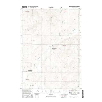
2015 Map of Whetstone Mountain
USGS Topo · Published 2015About this map
Whetstone Mtn serves as a central landmark in this high-elevation region of Teton County, where the boundary of Grand Teton National Park meets the Teton National Forest. The landscape is defined by a dense network of watercourses and primitive access routes rather than permanent settlements. Drainage systems like Pacific Creek and W Whetstone Cr carve through the terrain, flanked by numerous footpaths that reveal the area's primary use for wilderness recreation and conservation. Historical transit is evidenced by several established routes, including the Whetstone Trail and Colter Creek Trail, which navigate the steep gradients. Towards the south, Pacific Creek Rd and Two Ocean Lake Rd provide the only vehicular penetration into this protected backcountry, illustrating the transition from managed forest lands to the interior of the national park.
Find a feature on this map
23 named features on this map. Tap any name to fly to it.
Don’t see what you’re looking for? This feature index may not catch every label — zoom into the map to look around manually.
Map Details
Editions of this 2015 Whetstone Mountain Map
This is the sole edition of this map. No revisions or reprints were ever made.
Other maps of this area

1885 · Lake
USGS Topo · 1:125,000

1886 · Shoshone
USGS Topo · 1:125,000

1888 · Shoshone
USGS Topo · 1:125,000

1895 · Shoshone
USGS Topo · 1:125,000

1895 · Lake
USGS Topo · 1:125,000

1896 · Lake
USGS Topo · 1:125,000

1899 · Grand Teton
USGS Topo · 1:125,000

1901 · Shoshone
USGS Topo · 1:125,000

1901 · Lake
USGS Topo · 1:125,000

1901 · Grand Teton
USGS Topo · 1:125,000