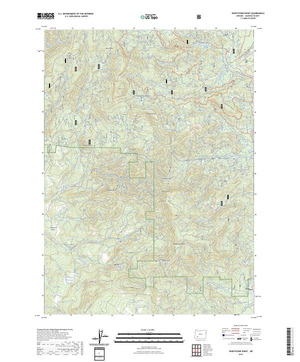
2023 Map of Whetstone Point
USGS Topo · Published 2023About this map
The Rogue River National Forest dominates this landscape, where the Rogue Wild and Scenic River carves through the volcanic geology of the Rogue River Range. The settlement of Prospect sits at the edge of this timber and water network, connected to industrial water management features like the App & L Canal. Higher elevations are defined by prominent geological markers such as Whetstone Point, Bald Mtn, and the distinctive Needle Rocks.
Find a feature on this map
61 named features on this map. Tap any name to fly to it.
Don’t see what you’re looking for? This feature index may not catch every label — zoom into the map to look around manually.
Map Details
Editions of this 2023 Whetstone Point Map
2 editions found
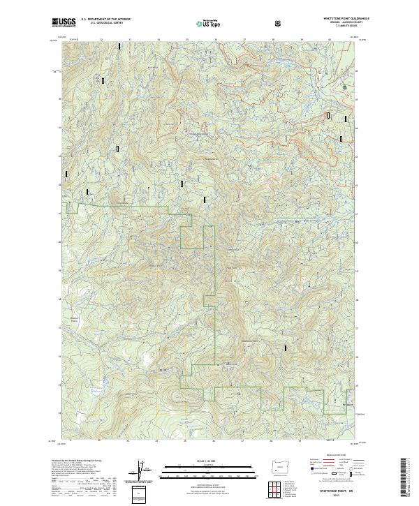
Other maps of this area

1891 · Ashland
USGS Topo · 1:250,000

1893 · Ashland
USGS Topo · 1:250,000

1897 · Ashland
USGS Topo · 1:250,000

1944 · Abbott Butte
USGS Topo · 1:62,500

1947 · Abbott Butte
USGS Topo · 1:62,500

1954 · Butte Falls
USGS Topo · 1:62,500

1955 · Rustler Peak
USGS Topo · 1:62,500

1955 · Medford
USGS Topo · 1:250,000

1956 · Prospect
USGS Topo · 1:62,500

1957 · Medford
USGS Topo · 1:250,000