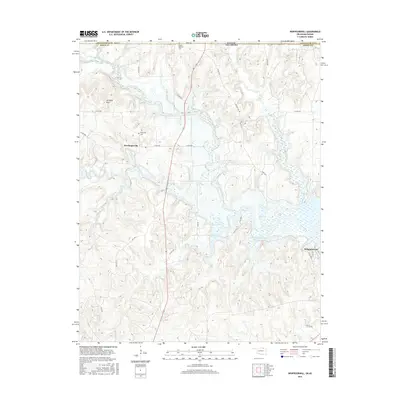
2016 Map of Whippoorwill
USGS Topo · Published 2016About this map
Boulangerville and Whippoorwill anchor this northern Oklahoma landscape just south of the Kansas border. The Caney River meanders through the central terrain, feeding into the expansive waters of Silo Cove and the Hulah Restocking Pond. The topography is defined by significant elevations such as Artillery Mtn and the winding course of Pond Creek and Turkey Creek. Genealogy researchers will find several notable burial sites preserved here, including the Boulanger Cem near its namesake settlement and the Robert Marshall Cem further north. The map details an intricate network of rural routes like Co RD 3515 and Co RD 3809, which connect these isolated communities and the numerous creek systems like Birch Cr and Spring Cr that drain the Osage County hills.
Find a feature on this map
35 named features on this map. Tap any name to fly to it.
Don’t see what you’re looking for? This feature index may not catch every label — zoom into the map to look around manually.
Map Details
Editions of this 2016 Whippoorwill Map
This is the sole edition of this map. No revisions or reprints were ever made.
Other maps of this area

1885 · Sedan
USGS Topo · 1:125,000

1889 · Sedan
USGS Topo · 1:125,000

1909 · Pawhuska
USGS Topo · 1:125,000

1910 · Pawhuska
USGS Topo · 1:125,000

1955 · Wichita
USGS Topo · 1:250,000

1955 · Enid
USGS Topo · 1:250,000

1958 · Enid
USGS Topo · 1:250,000

1958 · Wichita
USGS Topo · 1:250,000

1960 · Nanos
USGS Topo · 1:24,000

1960 · Herd
USGS Topo · 1:24,000