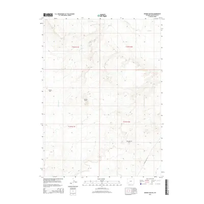
2015 Map of Whiskey Buttes
USGS Topo · Published 2015About this map
The Brigham Young 1847 trail corridor marks the southeastern reach of this Sweetwater County landscape, preserving the historical transit route through Wyoming's high desert. This 2015 survey reveals a terrain defined by dramatic drainage patterns and isolated geological features, notably the eponymous Whiskey Buttes and the adjacent Whiskey Basin. The hydrology is dominated by the seasonal paths of Shute Cr and S Fork Shute Cr, which carve through the arid topography. Modern land management is reflected in the precise grid of the Public Land Survey System, which divides the township lines of t22n r111w and t21n r110w. The presence of the West Otterson Wash further illustrates the complex erosional features that dictate the movement of water and travel through this part of the Green River Basin.
Find a feature on this map
10 named features on this map. Tap any name to fly to it.
Don’t see what you’re looking for? This feature index may not catch every label — zoom into the map to look around manually.
Map Details
Editions of this 2015 Whiskey Buttes Map
This is the sole edition of this map. No revisions or reprints were ever made.
Other maps of this area

1954 · Ogden
USGS Topo · 1:250,000

1954 · Rock Springs
USGS Topo · 1:250,000

1958 · Ogden
USGS Topo · 1:250,000

1958 · Rock Springs
USGS Topo · 1:250,000

1960 · Ogden
USGS Topo · 1:250,000

1961 · Blue Point
USGS Topo · 1:24,000

1961 · Sevenmile Gulch
USGS Topo · 1:24,000

1962 · Rock Springs
USGS Topo · 1:250,000
1963 · Whiskey Buttes
USGS Topo · 1:24,000
1963 · Mc Cullen Bluff
USGS Topo · 1:24,000