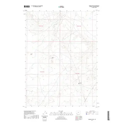
2017 Map of Whiskey Buttes
USGS Topo · Published 2017About this map
The Brigham Young 1847 trail crosses the southeastern corner of this landscape, marking a historic corridor of western migration through Sweetwater County. The terrain is defined by dramatic landforms such as the Whiskey Buttes and the adjacent Whiskey Basin, where the arid topography is carved by intermittent drainages. Waterways like S Fork Shute Cr and Shute Cr flow through the northern reaches, while the West Otterson Wash drains the eastern slopes. This 2017 survey reflects the enduring character of the high desert, where the legacy of nineteenth-century overland travel is etched into the same ground that modern mapping agencies like the U.S. Geological Survey continue to document. The grid of township and range lines, including t21n r110w and t22n r111w, provides the framework for navigating this sparsely populated but historically significant corner of Wyoming.
Find a feature on this map
10 named features on this map. Tap any name to fly to it.
Don’t see what you’re looking for? This feature index may not catch every label — zoom into the map to look around manually.
Map Details
Editions of this 2017 Whiskey Buttes Map
This is the sole edition of this map. No revisions or reprints were ever made.
Other maps of this area

1954 · Ogden
USGS Topo · 1:250,000

1954 · Rock Springs
USGS Topo · 1:250,000

1958 · Ogden
USGS Topo · 1:250,000

1958 · Rock Springs
USGS Topo · 1:250,000

1960 · Ogden
USGS Topo · 1:250,000

1961 · Blue Point
USGS Topo · 1:24,000

1961 · Sevenmile Gulch
USGS Topo · 1:24,000

1962 · Rock Springs
USGS Topo · 1:250,000
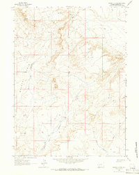
1963 · Whiskey Buttes
USGS Topo · 1:24,000
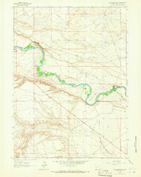
1963 · Mc Cullen Bluff
USGS Topo · 1:24,000