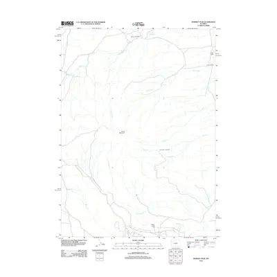
2012 Map of Whiskey Peak
USGS Topo · Published 2012About this map
The Diamond Hook Ranch and other scattered homesteads define the high-country landscape of Sweetwater County in the early 21st century. This region is characterized by a complex drainage network where Big Camp Cr and Little Camp Cr carve through the terrain south of Green Mountain. The map provides a detailed look at the rural land use patterns of the era, marking historic family sites such as the Tilly Homestead near the Red Hills and the Joe Wimmer Homestead along the banks of Corral Cr. Water management in this arid environment is evidenced by features like Grieves Reservoir, which sits at the northern edge of the survey area. From the elevation of Camp Creek Hill to the various ephemeral flows of Coal Cr and Reed Cr, the map documents a resilient ranching and homesteading geography.
Find a feature on this map
15 named features on this map. Tap any name to fly to it.
Don’t see what you’re looking for? This feature index may not catch every label — zoom into the map to look around manually.
Map Details
Editions of this 2012 Whiskey Peak Map
This is the sole edition of this map. No revisions or reprints were ever made.
Other maps of this area

1951 · Bucklin Reservoirs
USGS Topo · 1:24,000

1951 · Split Rock
USGS Topo · 1:24,000

1951 · Split Rock NW
USGS Topo · 1:24,000

1955 · Casper
USGS Topo · 1:250,000

1958 · Casper
USGS Topo · 1:250,000

1961 · Lamont
USGS Topo · 1:24,000

1961 · Hadsell Spring
USGS Topo · 1:24,000

1961 · Bairoil
USGS Topo · 1:24,000

1962 · Casper
USGS Topo · 1:250,000

1962 · Whiskey Peak
USGS Topo · 1:24,000