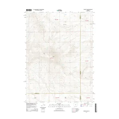
2015 Map of Whiskey Peak
USGS Topo · Published 2015About this map
Whiskey Peak and the surrounding slopes of Green Mtn dominate this high-altitude landscape where the boundaries of Sweetwater, Carbon, and Fremont counties converge. This 2015 survey reveals a terrain defined by complex drainage networks and water management, including Camp Creek Reservoir and Grieves Reservoir. The land is carved by numerous seasonal flows such as Big Camp Cr, Corral Cr, and Coal Cr, which navigate the deep topographic relief of Rawlins Draw and the distinctively colored Red Hills. This area, while sparse in permanent settlement, contains evidence of land use through remote roads like Iris Ave and topographic landmarks such as Camp Creek Hill and Laundry Draw. The map provides a detailed view of the high Wyoming desert and mountain transition before more modern development might alter these traditional grazing and watershed lands.
Find a feature on this map
26 named features on this map. Tap any name to fly to it.
Don’t see what you’re looking for? This feature index may not catch every label — zoom into the map to look around manually.
Map Details
Editions of this 2015 Whiskey Peak Map
This is the sole edition of this map. No revisions or reprints were ever made.
Other maps of this area

1951 · Bucklin Reservoirs
USGS Topo · 1:24,000

1951 · Split Rock
USGS Topo · 1:24,000

1951 · Split Rock NW
USGS Topo · 1:24,000

1955 · Casper
USGS Topo · 1:250,000

1958 · Casper
USGS Topo · 1:250,000

1961 · Lamont
USGS Topo · 1:24,000

1961 · Hadsell Spring
USGS Topo · 1:24,000

1961 · Bairoil
USGS Topo · 1:24,000

1962 · Casper
USGS Topo · 1:250,000

1962 · Whiskey Peak
USGS Topo · 1:24,000