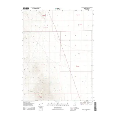
2014 Map of Whistler Mountain
USGS Topo · Published 2014About this map
Whistler Mountain dominates the western half of this Nevada landscape, its high ridges falling away to the agricultural and alluvial flats of Diamond Valley. In this arid Basin and Range environment, water sources are the primary indicators of historical activity and survival. Named features like Stinking Spring, Hash Spring, and Railroad Spring suggest the routes and stopovers used by early travelers and livestock outfits. The presence of Trap Corral Spring specifically points to the area's grazing history, where natural water points dictated the placement of ranching infrastructure.
Find a feature on this map
24 named features on this map. Tap any name to fly to it.
Don’t see what you’re looking for? This feature index may not catch every label — zoom into the map to look around manually.
Map Details
Editions of this 2014 Whistler Mountain Map
This is the sole edition of this map. No revisions or reprints were ever made.
Other maps of this area

1926 · Roberts Mountains
USGS Topo · 1:250,000

1929 · Roberts Mountains
USGS Topo · 1:250,000

1949 · Garden Valley
USGS Topo · 1:62,500

1951 · Garden Valley
USGS Topo · 1:62,500

1953 · Eureka
USGS Topo · 1:62,500

1955 · Millett
USGS Topo · 1:250,000

1956 · Whistler Mtn
USGS Topo · 1:62,500

1956 · Ely
USGS Topo · 1:250,000

1957 · Diamond Springs
USGS Topo · 1:62,500

1959 · Ely
USGS Topo · 1:250,000