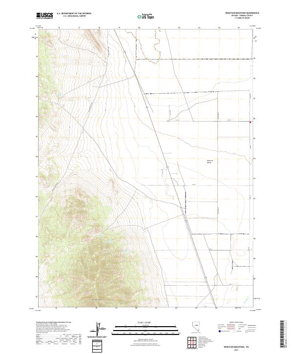
2021 Map of Whistler Mountain
USGS Topo · Published 2021About this map
Whistler Mtn anchors the southwestern corner of this Eureka County landscape, overlooking the expansive floor of Diamond Valley. The terrain transitions from the steep contours of the mountain range to a more open, grid-like network of rural roads and land divisions to the east. This area is defined by its critical water sources, with several named springs such as Stinking Spring and Hash Spring situated along the mountain slopes. The presence of Railroad Spring and Trap Corral Spring suggests a history of livestock management and early transit across this arid portion of Nevada.
Find a feature on this map
23 named features on this map. Tap any name to fly to it.
Don’t see what you’re looking for? This feature index may not catch every label — zoom into the map to look around manually.
Map Details
Editions of this 2021 Whistler Mountain Map
This is the sole edition of this map. No revisions or reprints were ever made.
Other maps of this area

1926 · Roberts Mountains
USGS Topo · 1:250,000

1929 · Roberts Mountains
USGS Topo · 1:250,000

1949 · Garden Valley
USGS Topo · 1:62,500

1951 · Garden Valley
USGS Topo · 1:62,500

1953 · Eureka
USGS Topo · 1:62,500

1955 · Millett
USGS Topo · 1:250,000

1956 · Whistler Mtn
USGS Topo · 1:62,500

1956 · Ely
USGS Topo · 1:250,000

1957 · Diamond Springs
USGS Topo · 1:62,500

1959 · Ely
USGS Topo · 1:250,000