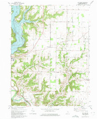
1974 Map of Whitcomb
USGS Topo · Published 1975About this map
Brookville Lake dominates this Indiana landscape, where controlled inundation altered the geography of the East Fork Whitewater River valley. The map documents the settlement of Whitcomb situated near the lake's eastern shore, along with the community of Palestine and the southern edge of Brookville. These human settlements are connected by a network of rural routes including Oxford Road and Whitcomb Road North.
Find a feature on this map
45 named features on this map. Tap any name to fly to it.
Don’t see what you’re looking for? This feature index may not catch every label — zoom into the map to look around manually.
Map Details
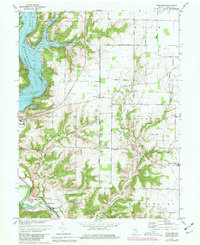
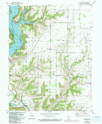
Editions of this 1974 Whitcomb Map
Other maps of this area

1915 · College Corner
USGS Topo · 1:48,000

1915 · Harrison
USGS Topo · 1:48,000

1918 · College Corner
USGS Topo · 1:62,500

1948 · Fairfield
USGS Topo · 1:24,000

1953 · Cincinnati
USGS Topo · 1:250,000

1955 · Harrison
USGS Topo · 1:24,000

1955 · Reily
USGS Topo · 1:24,000

1955 · Mount Carmel
USGS Topo · 1:24,000
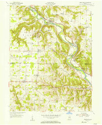
1955 · Cedar Grove
USGS Topo · 1:24,000

1956 · Everton
USGS Topo · 1:24,000