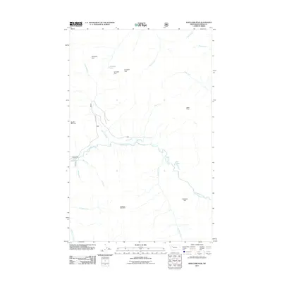
2011 Map of Whitcomb Peak
USGS Topo · Published 2011About this map
Whitcomb Peak and Big Bill Mountain dominate this high-elevation landscape within Flathead County, where drainage networks define the terrain. The central waterway of the Spotted Bear River receives numerous tributaries including Milk Creek, Whitcomb Creek, and Silvertip Creek. The presence of the Beaver Creek Campground near the confluence of Beaver Creek and Deer Creek indicates the area's role as a point of access for backcountry travelers. Geologic features such as the Limestone Wall and Gunsight Rock highlight the prominent vertical relief characteristic of the region. This 2011 survey illustrates the modern status of forest service roads like 564 and 568, which provide the primary means of navigating this remote mountain environment.
Find a feature on this map
25 named features on this map. Tap any name to fly to it.
Don’t see what you’re looking for? This feature index may not catch every label — zoom into the map to look around manually.
Map Details
Editions of this 2011 Whitcomb Peak Map
This is the sole edition of this map. No revisions or reprints were ever made.
Other maps of this area

1913 · Marias Pass
USGS Topo · 1:125,000

1936 · Silvertip
USGS Topo · 1:96,000

1942 · Silvertip
USGS Topo · 1:125,000

1955 · Choteau
USGS Topo · 1:250,000

1957 · Choteau
USGS Topo · 1:250,000

1958 · Choteau
USGS Topo · 1:250,000

1958 · Gable Peaks
USGS Topo · 1:24,000

1958 · Capitol Mountain
USGS Topo · 1:24,000

1958 · Horseshoe Peak
USGS Topo · 1:24,000

1960 · Cut Bank
USGS Topo · 1:250,000