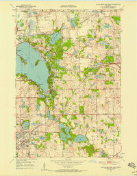
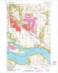
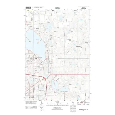
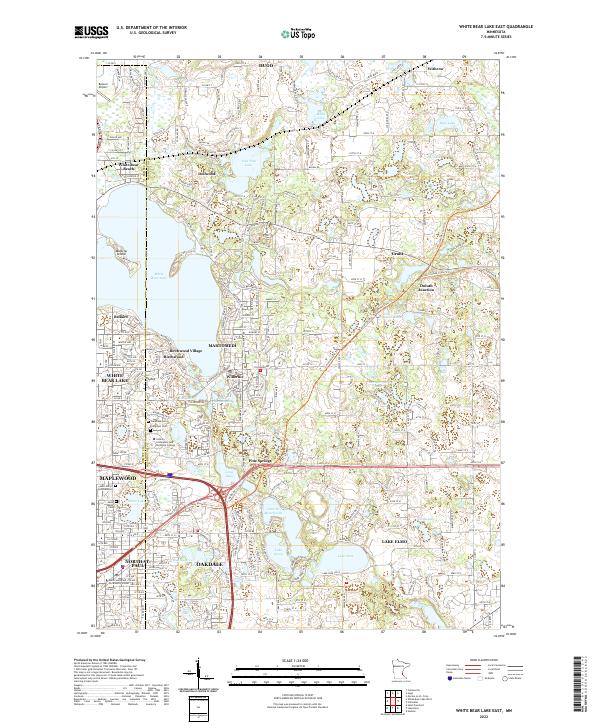
1967 Map of White Bear Lake East
USGS Topo · Published 1981About this map
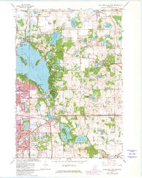
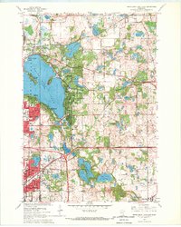
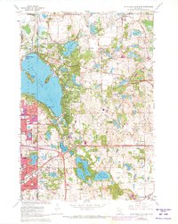
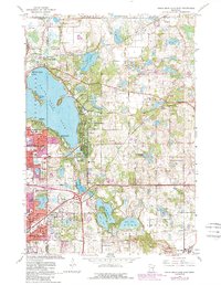
White Bear Lake dominates the western half of this suburban landscape, featuring the residential enclave of Manitou Island and the shoreline communities of White Bear Beach, Dellwood, and Birchwood. This 1967 survey, revised with late 1970s urban data, shows the expansion of Mahtomedi and Willernie as the region transformed from a lakeside retreat into a core part of the Twin Cities metropolitan fringe. The Burlington Northern railroad cuts a diagonal path through the northern lake country, passing Duluth Junction and linking small settlements near Echo Lake and Long Lake. To the south, the development of North ST Paul and Maplewood is evident, balanced by the numerous smaller basins like Lake De Montreville, Lake Olson, and Lake Jane. Genealogists will find several burial grounds noted, including Lakeview Cem, Evergreen Cem, and St Marys Cem, alongside numerous local schools like Wildwood Sch and Cowern Sch.
Find a feature on this map
61 named features on this map. Tap any name to fly to it.
Don’t see what you’re looking for? This feature index may not catch every label — zoom into the map to look around manually.
Map Details
Editions of this 1967 White Bear Lake East Map
5 editions found
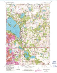
Historical Maps of Maplewood Through Time
16 maps found
1950 St Paul Park
Washington County, MN
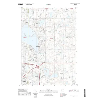
1951 White Bear Lake East
Washington County, MN
1955 Marine
Washington County, MN
1967 Marine On St. Croix
Washington County, MN
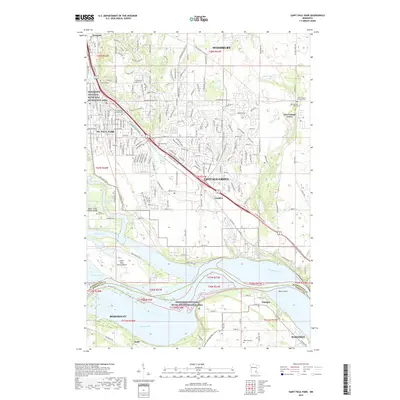
1967 St Paul Park
Washington County, MN
1967 White Bear Lake East
Washington County, MN
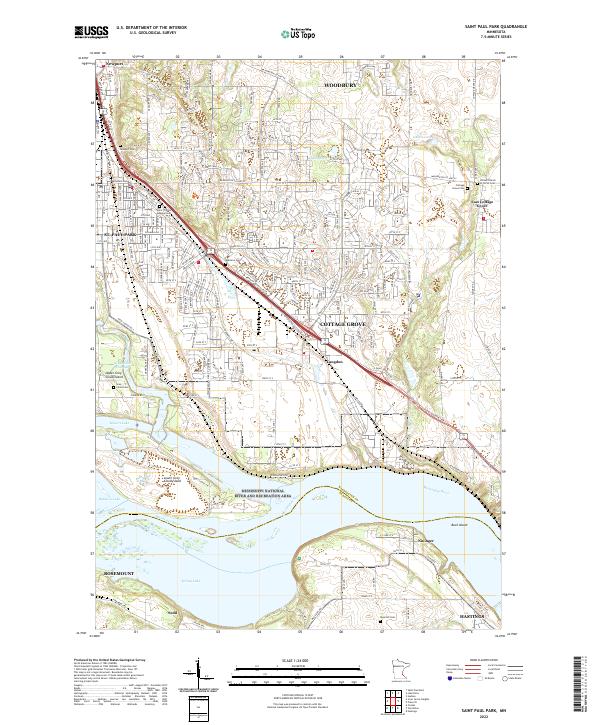
2010 Saint Paul Park
Washington County, MN
2010 White Bear Lake East
Washington County, MN
2013 Saint Paul Park
Washington County, MN
2013 White Bear Lake East
Washington County, MN
2016 Saint Paul Park
Washington County, MN
2016 White Bear Lake East
Washington County, MN
2019 Saint Paul Park
Washington County, MN
2019 White Bear Lake East
Washington County, MN
2022 Saint Paul Park
Washington County, MN
2022 White Bear Lake East
Washington County, MN