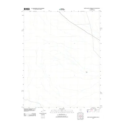
2012 Map of White Blotch Springs NW
USGS Topo · Published 2012About this map
Sharp Peak rises as a prominent landmark in this high-desert landscape of eastern Nevada, situated within the Great Basin's characteristically dry drainage patterns. The 2012 survey by the U.S. Geological Survey shows a largely undeveloped expanse defined by ephemeral watercourses and the diagonal passage of State Route 375. This highway, which crosses the northern portion of the quadrangle, serves as the primary corridor through the open basin, connecting the remote interior of Nye County with distant regional hubs. The map illustrates a transitional terrain where alluvial fans spread from the base of the peak, creating a complex network of seasonal washes that dominate the southern and western reaches of the territory.
Find a feature on this map
2 named features on this map. Tap any name to fly to it.
Don’t see what you’re looking for? This feature index may not catch every label — zoom into the map to look around manually.
Map Details
Editions of this 2012 White Blotch Springs NW Map
This is the sole edition of this map. No revisions or reprints were ever made.
Other maps of this area

1908 · Kawich
USGS Topo · 1:250,000

1942 · Reveille Peak
USGS Topo · 1:125,000

1942 · Penoyer Valley
USGS Topo · 1:125,000

1952 · White Blotch Springs
USGS Topo · 1:62,500

1952 · Reveille Peak
USGS Topo · 1:62,500

1952 · Belted Peak
USGS Topo · 1:62,500

1954 · Caliente
USGS Topo · 1:250,000

1954 · Goldfield
USGS Topo · 1:250,000

1955 · Goldfield
USGS Topo · 1:250,000

1958 · Goldfield
USGS Topo · 1:250,000