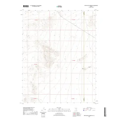
2018 Map of White Blotch Springs NW
USGS Topo · Published 2018About this map
Sharp Peak rises above the eastern high desert terrain of the Great Basin, marking a prominent landmark near the jurisdictional boundary of Nye Co Lincoln Co. This 2018 survey illustrates a sparsely developed landscape dominated by the expansive Sand Spring Valley, which occupies the eastern portion of the quadrangle. The land is defined largely by the Public Land Survey System, with township and range lines such as t2s r54e and t3s r54e providing the primary structure for this arid territory. Human infrastructure is limited to the corridor for Highway 375, known as the Extraterrestrial Highway, which cuts diagonally through the northern sections of the map, providing the only significant transit route through this isolated region of southern Nevada.
Find a feature on this map
10 named features on this map. Tap any name to fly to it.
Don’t see what you’re looking for? This feature index may not catch every label — zoom into the map to look around manually.
Map Details
Editions of this 2018 White Blotch Springs NW Map
This is the sole edition of this map. No revisions or reprints were ever made.
Other maps of this area

1908 · Kawich
USGS Topo · 1:250,000

1942 · Reveille Peak
USGS Topo · 1:125,000

1942 · Penoyer Valley
USGS Topo · 1:125,000

1952 · White Blotch Springs
USGS Topo · 1:62,500

1952 · Reveille Peak
USGS Topo · 1:62,500

1952 · Belted Peak
USGS Topo · 1:62,500

1954 · Caliente
USGS Topo · 1:250,000

1954 · Goldfield
USGS Topo · 1:250,000

1955 · Goldfield
USGS Topo · 1:250,000

1958 · Goldfield
USGS Topo · 1:250,000