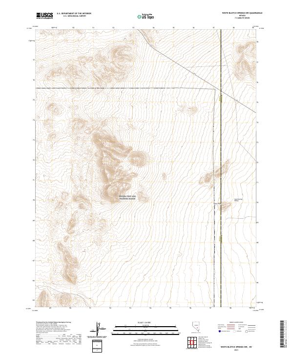
2021 Map of White Blotch Springs NW
USGS Topo · Published 2021About this map
Sharp Peak rises as a prominent landmark along the eastern edge of this desert landscape, marking a distinct point on the boundary between Nye and Lincoln counties. This high-altitude terrain transitions into the broad expanse of Sand Spring Valley to the east, illustrating the characteristic basin and range structure of the Nevada interior. The map focuses on a sparsely developed area defined by its natural topography rather than human settlement, documented through precise contour intervals that reveal the complex ridges and drainage patterns across multiple townships, including t3s r53e and t3s r54e.
Find a feature on this map
9 named features on this map. Tap any name to fly to it.
Don’t see what you’re looking for? This feature index may not catch every label — zoom into the map to look around manually.
Map Details
Editions of this 2021 White Blotch Springs NW Map
This is the sole edition of this map. No revisions or reprints were ever made.
Other maps of this area

1908 · Kawich
USGS Topo · 1:250,000

1942 · Reveille Peak
USGS Topo · 1:125,000

1942 · Penoyer Valley
USGS Topo · 1:125,000

1952 · White Blotch Springs
USGS Topo · 1:62,500

1952 · Reveille Peak
USGS Topo · 1:62,500

1952 · Belted Peak
USGS Topo · 1:62,500

1954 · Caliente
USGS Topo · 1:250,000

1954 · Goldfield
USGS Topo · 1:250,000

1955 · Goldfield
USGS Topo · 1:250,000

1958 · Goldfield
USGS Topo · 1:250,000