
1976 Map of White Cloud SE
USGS Topo · Published 1976About this map
White Cloud serves as the central hub of this mid-1970s orthophotoquad, which uses aerial imagery to reveal the complex landscape of western Michigan. The contrast between the organized grid of the town site and the surrounding network of lakes and wooded wetlands provides a clear view of how development adapted to the region's glacial geography. To the southwest, the small settlement of Jugville sits near a prominent water body, illustrating the dispersed residential patterns common in the Newaygo area during this era. Because this is an orthophoto-based study, the map records the actual density of forest cover and the precise shape of the numerous unnamed kettle lakes that dot the terrain, offering a more literal representation of the 1976 land use than a traditional line-drawn topographic map.
Find a feature on this map
2 named features on this map. Tap any name to fly to it.
Don’t see what you’re looking for? This feature index may not catch every label — zoom into the map to look around manually.
Map Details
Editions of this 1976 White Cloud SE Map
This is the sole edition of this map. No revisions or reprints were ever made.
Other maps of this area

1954 · Midland
USGS Topo · 1:250,000

1958 · Midland
USGS Topo · 1:250,000

1958 · Sand Lake
USGS Topo · 1:62,500

1958 · Fremont
USGS Topo · 1:62,500

1958 · Woodville
USGS Topo · 1:62,500

1959 · Midland
USGS Topo · 1:250,000

1959 · White Cloud
USGS Topo · 1:62,500

1966 · Midland
USGS Topo · 1:250,000
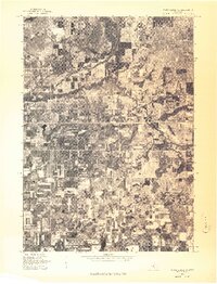
1976 · White Cloud SW
USGS Topo · 1:24,000
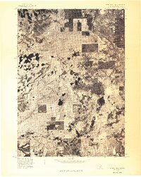
1976 · White Cloud NE
USGS Topo · 1:24,000