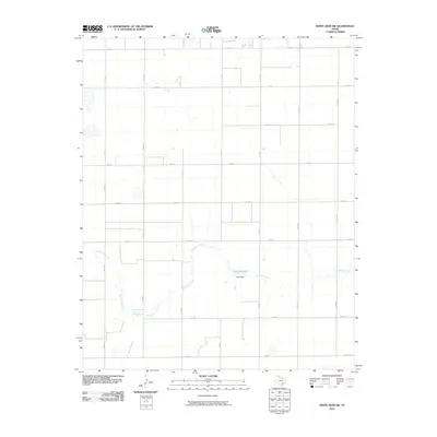
2010 Map of White Deer SW
USGS Topo · Published 2010About this map
McClellan Creek meanders across this rural section of Carson County, defining the drainage patterns of the Texas Panhandle landscape. The map shows a region dominated by a geometric grid of county roads and farm-to-market routes, reflecting the intensive agricultural and ranching layout of the early 21st century. A central hydrologic feature is the Horn Reservoir, created by the Horn Dam along the creek's course. The infrastructure is characterized by long-distance connectors such as FM 294 and FM 293, which link isolated farmsteads to the wider region. This survey serves as a record of the watershed and land partitions before significant modern shifts in water management or rural development occurred.
Find a feature on this map
19 named features on this map. Tap any name to fly to it.
Don’t see what you’re looking for? This feature index may not catch every label — zoom into the map to look around manually.
Map Details
Editions of this 2010 White Deer SW Map
This is the sole edition of this map. No revisions or reprints were ever made.
Other maps of this area

1954 · Amarillo
USGS Topo · 1:250,000

1958 · Amarillo
USGS Topo · 1:250,000

1960 · Claude
USGS Topo · 1:62,500

1960 · Groom
USGS Topo · 1:62,500

1965 · White Deer
USGS Topo · 1:24,000

1966 · Grandview School
USGS Topo · 1:24,000

1966 · Panhandle East
USGS Topo · 1:24,000

1966 · Cuyler
USGS Topo · 1:24,000

1966 · White Deer SW
USGS Topo · 1:24,000

1966 · Kingsmill
USGS Topo · 1:24,000