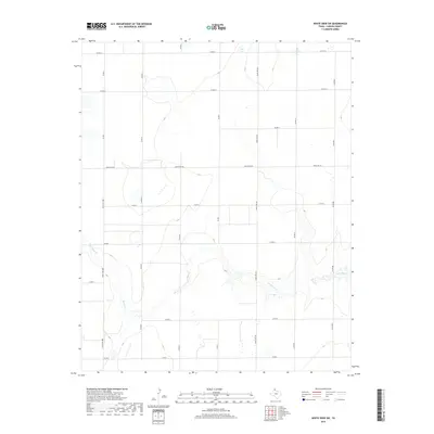
2019 Map of White Deer SW
USGS Topo · Published 2019About this map
McClellan Cr carves a winding path across the southern landscape of this Carson County quadrangle, defining the local topography with its drainage patterns and subtle elevation changes. The land is organized by a precise grid of county roads and ranch access routes, reflecting the expansive agricultural and ranching operations of the Texas Panhandle. Significant transit corridors like Ranch Rd 294 and Ranch Rd 293 bisect the open country, connecting isolated ranching headquarters to the wider region. This 2019 survey documents the modern rural infrastructure of the area, showing how section lines and named roads such as Co Rd 13 and Co Rd BB continue to dictate the movement and settlement patterns of this high plains environment.
Find a feature on this map
18 named features on this map. Tap any name to fly to it.
Don’t see what you’re looking for? This feature index may not catch every label — zoom into the map to look around manually.
Map Details
Editions of this 2019 White Deer SW Map
This is the sole edition of this map. No revisions or reprints were ever made.
Other maps of this area

1954 · Amarillo
USGS Topo · 1:250,000

1958 · Amarillo
USGS Topo · 1:250,000

1960 · Claude
USGS Topo · 1:62,500

1960 · Groom
USGS Topo · 1:62,500

1965 · White Deer
USGS Topo · 1:24,000

1966 · Grandview School
USGS Topo · 1:24,000

1966 · Panhandle East
USGS Topo · 1:24,000

1966 · Cuyler
USGS Topo · 1:24,000

1966 · White Deer SW
USGS Topo · 1:24,000

1966 · Kingsmill
USGS Topo · 1:24,000