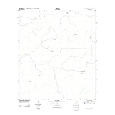
2012 Map of White Draw NE
USGS Topo · Published 2012About this map
John Cauthorn Ranch and several other family-held properties define this stretch of the West Texas landscape, illustrating the enduring ranching economy of Val Verde County. The map details a network of private roads and water management infrastructure essential for livestock in this arid environment, featuring numerous named points such as the Cedar Bluff Windmill, Tejon Windmill, and Cedar Tank Windmills. To the south, Dolan Cr carves through the terrain, while the northern edge is marked by the course of South Buckley Draw. The distribution of these ranching outposts, including the Jim Bob Altizer Ranch and Willie B Whitehead Ranch, provides a clear view of land use and family heritage in the region during the early 21st century.
Find a feature on this map
15 named features on this map. Tap any name to fly to it.
Don’t see what you’re looking for? This feature index may not catch every label — zoom into the map to look around manually.
Map Details
Editions of this 2012 White Draw NE Map
This is the sole edition of this map. No revisions or reprints were ever made.
Other maps of this area

1954 · Sonora
USGS Topo · 1:250,000

1958 · Sonora
USGS Topo · 1:250,000

1967 · Dunbar Draw SW
USGS Topo · 1:24,000

1967 · Flat Rock Draw SE
USGS Topo · 1:24,000

1967 · Flat Rock Draw SW
USGS Topo · 1:24,000

1973 · Turney Draw NW
USGS Topo · 1:24,000

1973 · White Draw NW
USGS Topo · 1:24,000

1973 · Robinson Draw
USGS Topo · 1:24,000

1973 · Four Mills
USGS Topo · 1:24,000
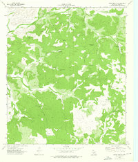
1973 · White Draw NE
USGS Topo · 1:24,000