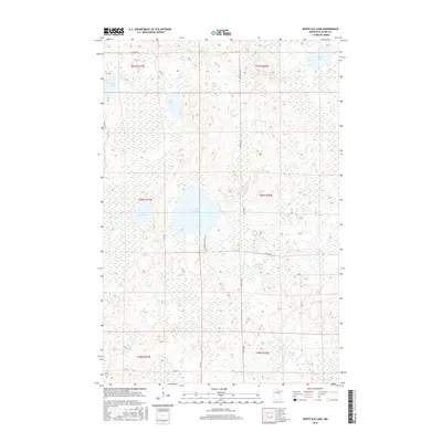
2016 Map of White Elk Lake
USGS Topo · Published 2016About this map
White Elk Lake sits at the heart of this Northwoods landscape in Aitkin County, surrounded by an intricate network of wetlands and smaller basins. The terrain is defined by its glacial hydrology, with Moose River winding through the northern sections and White Elk Cr draining the central lowlands. Notable local landmarks include Kingsleys Pothole and a cluster of named lakes such as Wolf Lake, Buss Lake, and Packer Lake.
Find a feature on this map
26 named features on this map. Tap any name to fly to it.
Don’t see what you’re looking for? This feature index may not catch every label — zoom into the map to look around manually.
Map Details
Editions of this 2016 White Elk Lake Map
This is the sole edition of this map. No revisions or reprints were ever made.
Other maps of this area

1913 · Cuyuna
USGS Topo · 1:62,500

1914 · Aitkin
USGS Topo · 1:62,500

1915 · Aitkin
USGS Topo · 1:62,500

1915 · Cuyuna
USGS Topo · 1:62,500

1953 · Duluth
USGS Topo · 1:250,000

1958 · Duluth
USGS Topo · 1:250,000

1970 · Edna Lake
USGS Topo · 1:24,000

1970 · Shovel Lake
USGS Topo · 1:24,000

1970 · Bain
USGS Topo · 1:24,000
1970 · Hill City
USGS Topo · 1:24,000