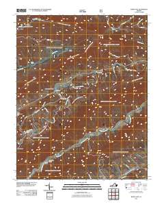
2011 Map of White Gate
USGS Topo · Published 2011About this map
Walker Creek meanders deeply through this section of Bland County, defining a landscape shaped by narrow valleys and steep ridges. The settlement at White Gate sits near the confluence of local routes like Church Rd and Old Mill Dam Rd, reflecting a rural community structure established long before the modern era. To the north, the terrain rises sharply toward Sugar Run Mountain and Flat Top Mountain, where the Dismal Peak Fire Tower and the Honey Spring Patrol Cabin overlook the drainage of Dismal Creek. The presence of the Wapiti Shelter suggests the area's role in the regional trail network. Genealogists and local historians will find value in the location of the Walkers Creek Cemetery and the industrial hints found at the Bland County Farm Dam or the aptly named Silver Mine Hollow and Sulphur Hollow near Little Walker Creek.
Find a feature on this map
37 named features on this map. Tap any name to fly to it.
Don’t see what you’re looking for? This feature index may not catch every label — zoom into the map to look around manually.
Map Details
Editions of this 2011 White Gate Map
This is the sole edition of this map. No revisions or reprints were ever made.
Other maps of this area

1890 · Dublin
USGS Topo · 1:125,000

1891 · Dublin
USGS Topo · 1:125,000

1913 · Peterstown
USGS Topo · 1:48,000

1916 · Peterstown
USGS Topo · 1:62,500

1923 · Pearisburg
USGS Topo · 1:62,500

1925 · Peterstown
USGS Topo · 1:62,500

1932 · Peterstown
USGS Topo · 1:48,000

1932 · Pearisburg
USGS Topo · 1:48,000

1934 · Pulaski
USGS Topo · 1:48,000

1937 · Pearisburg
USGS Topo · 1:62,500