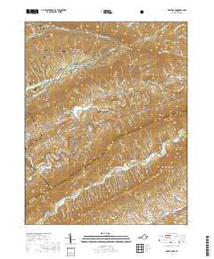
2019 Map of White Gate
USGS Topo · Published 2019About this map
The settlement of White Gate sits at the junction of Walkers Creek Valley Rd and Old Church Rd, serving as a central point in this mountain landscape. Much of the northern and eastern terrain is preserved within the Jefferson National Forest, where the Appalachian National Scenic Trail winds through high-elevation gaps like Big Horse Gap and overlooks such as High Point. The map provides significant detail for genealogists and local historians, showing the Walkers Creek Cem near the center of the valley and identifying numerous family-named landmarks including Silver Mine Hollow and Sulphur Hollow. Water is a defining feature of the area, with Walker Creek and Little Walker Creek cutting through the valleys, while smaller tributaries like Dismal Cr and Wabash Cr drain the high ridges. These natural corridors shaped the placement of early routes like Old Mill Dam Rd and Alum Spring Rd.
Find a feature on this map
48 named features on this map. Tap any name to fly to it.
Don’t see what you’re looking for? This feature index may not catch every label — zoom into the map to look around manually.
Map Details
Editions of this 2019 White Gate Map
This is the sole edition of this map. No revisions or reprints were ever made.
Other maps of this area

1890 · Dublin
USGS Topo · 1:125,000

1891 · Dublin
USGS Topo · 1:125,000

1913 · Peterstown
USGS Topo · 1:48,000

1916 · Peterstown
USGS Topo · 1:62,500

1923 · Pearisburg
USGS Topo · 1:62,500

1925 · Peterstown
USGS Topo · 1:62,500

1932 · Peterstown
USGS Topo · 1:48,000

1932 · Pearisburg
USGS Topo · 1:48,000

1934 · Pulaski
USGS Topo · 1:48,000

1937 · Pearisburg
USGS Topo · 1:62,500