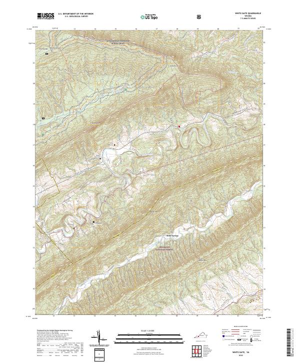
2022 Map of White Gate
USGS Topo · Published 2022About this map
The Appalachian National Scenic Trail winds across the high ridges of Sugar Run Mtn and Brushy Mtn in this upland region where Giles County meets the borders of Pulaski and Bland. The landscape is defined by the parallel ridges of Walker Mtn and Little Walker Mtn, with the winding course of Walker Creek carving a valley between them. This terrain has historically dictated the settlement patterns of the area, concentrating homes and farms along the Walkers Creek Valley Rd corridor.
Find a feature on this map
57 named features on this map. Tap any name to fly to it.
Don’t see what you’re looking for? This feature index may not catch every label — zoom into the map to look around manually.
Map Details
Editions of this 2022 White Gate Map
This is the sole edition of this map. No revisions or reprints were ever made.
Other maps of this area

1890 · Dublin
USGS Topo · 1:125,000

1891 · Dublin
USGS Topo · 1:125,000

1913 · Peterstown
USGS Topo · 1:48,000

1916 · Peterstown
USGS Topo · 1:62,500

1923 · Pearisburg
USGS Topo · 1:62,500

1925 · Peterstown
USGS Topo · 1:62,500

1932 · Peterstown
USGS Topo · 1:48,000

1932 · Pearisburg
USGS Topo · 1:48,000

1934 · Pulaski
USGS Topo · 1:48,000

1937 · Pearisburg
USGS Topo · 1:62,500