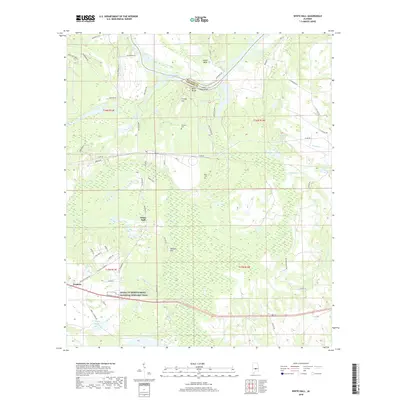
2018 Map of White Hall
USGS Topo · Published 2018About this map
White Hall stands as the central community of this Lowndes County landscape, situated just south of a significant bend in the Alabama River. The terrain is defined by the transition from the river bottomlands to the higher ground of Johnson Hill and Cravey Hill. Along the northern boundary, the R E "Bob" Woodruff Reservoir dominates the river corridor, flanked by notable landmarks like Blue Bluff and the Holy Ground Bar at Dutch Bend.
Find a feature on this map
63 named features on this map. Tap any name to fly to it.
Don’t see what you’re looking for? This feature index may not catch every label — zoom into the map to look around manually.
Map Details
Editions of this 2018 White Hall Map
This is the sole edition of this map. No revisions or reprints were ever made.
Other maps of this area

1953 · Montgomery
USGS Topo · 1:250,000

1956 · Montgomery
USGS Topo · 1:250,000

1957 · Montgomery
USGS Topo · 1:250,000

1957 · Autaugaville
USGS Topo · 1:62,500

1957 · Benton
USGS Topo · 1:62,500

1957 · Braggs
USGS Topo · 1:62,500

1975 · Benton SE
USGS Topo · 1:24,000

1975 · Autaugaville SW
USGS Topo · 1:24,000

1975 · Autaugaville SE
USGS Topo · 1:24,000
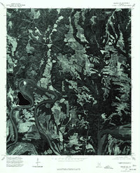
1975 · Benton NE
USGS Topo · 1:24,000