Loading...
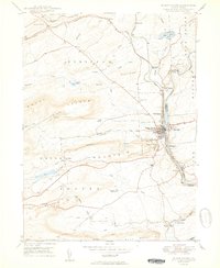
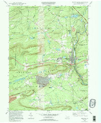
Loading map...1950 Map of White Haven
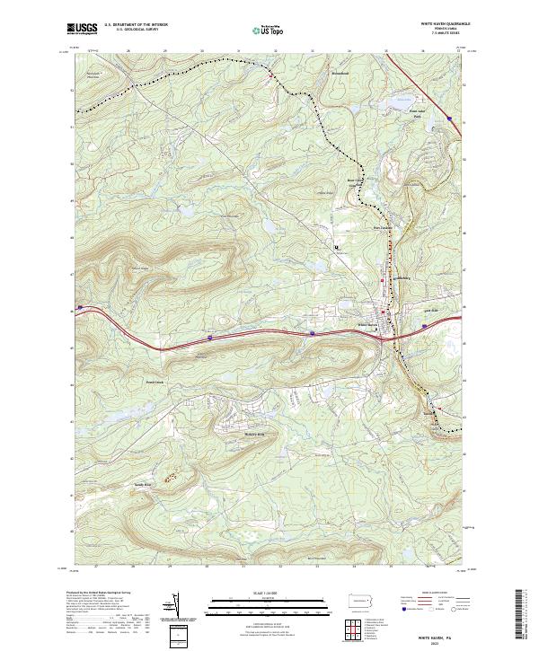
USGS Topo · Published 1950About this map
The Lehigh River carves a deep valley through this Pennsylvania landscape, separating White Haven and East Side at the junction of Luzerne and Carbon counties. This 1950 edition captures the industrial heart of the region, where the Central RR of Pennsylvania and the Lehigh Valley RR converge to navigate the steep terrain. These rails were the lifeblood of the local economy, servicing coal operations such as the numerous Strip Mine sites found on Green Mountain and near Sandy Run.
Find a feature on this map
59 named features on this map. Tap any name to fly to it.
Don’t see what you’re looking for? This feature index may not catch every label — zoom into the map to look around manually.
Map Details
Date Portrayed1950
Date Published1950
PublisherU.S. Geological Survey
Map TypeTopographic
Scale1:24,000
Physical Dimensions22 x 26.9 inches
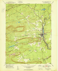
Editions of this 1950 White Haven Map
2 editions found
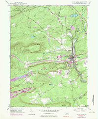
Historical Maps of Fairview Township Through Time
6 maps found
Featured Locations
Source Details
SourceU.S. Geological Survey
CopyrightPublic Domain