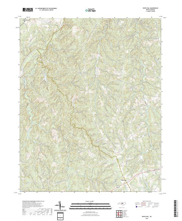
2022 Map of White Hill
USGS Topo · Published 2022About this map
Deep River winds through the northwestern corner of this landscape, defining the northern reach of a territory characterized by dense creek networks and winding country roads. The boundary between Moore Co and Lee Co bisects the area, following the meandering course of Little Governors Cr as it flows southeast toward the settlement of White Hill. This modern survey reveals a rural Piedmont landscape where residential development follows long-established transit corridors like Haw Branch Rd and S Plank Rd.
Find a feature on this map
82 named features on this map. Tap any name to fly to it.
Don’t see what you’re looking for? This feature index may not catch every label — zoom into the map to look around manually.
Map Details
Editions of this 2022 White Hill Map
This is the sole edition of this map. No revisions or reprints were ever made.
Other maps of this area

1953 · Raleigh
USGS Topo · 1:250,000

1954 · Raleigh
USGS Topo · 1:250,000

1957 · Murchisontown
USGS Topo · 1:24,000

1970 · Goldston
USGS Topo · 1:24,000

1970 · Colon
USGS Topo · 1:24,000

1970 · Bear Creek
USGS Topo · 1:24,000
1974 · Carthage
USGS Topo · 1:24,000

1974 · White Hill
USGS Topo · 1:24,000
1974 · Vass
USGS Topo · 1:24,000

1974 · Putnam
USGS Topo · 1:24,000