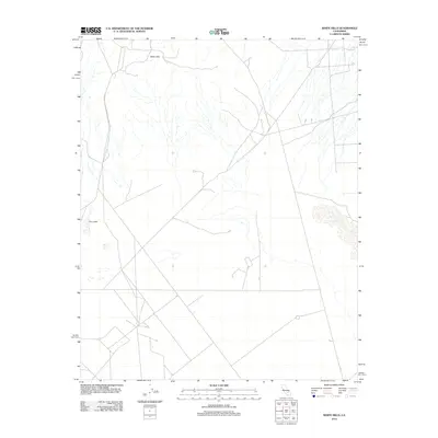
2012 Map of White Hills
USGS Topo · Published 2012About this map
White Hills defines the northern reaches of this arid landscape, where the elevation changes are marked by the subtle presence of the hills themselves. The terrain is characterized by an intricate network of desert washes and unimproved roads that navigate the vast basins. To the southwest, the Dry Lakes appear as distinctive geographic depressions, suggesting the ephemeral nature of water in this part of San Bernardino County. The map captures a moment in the early 21st century where the landscape remains largely defined by its natural topography rather than dense development, highlighting the isolation and scale of the California desert. The sparse labeling underscores the character of this region as an open, untamed expanse, where the few named points like White Hills serve as essential landmarks for navigation across the high-desert floor.
Find a feature on this map
2 named features on this map. Tap any name to fly to it.
Don’t see what you’re looking for? This feature index may not catch every label — zoom into the map to look around manually.
Map Details
Editions of this 2012 White Hills Map
This is the sole edition of this map. No revisions or reprints were ever made.
Other maps of this area

1915 · Searles Lake
USGS Topo · 1:250,000

1943 · Inyokern
USGS Topo · 1:62,500

1947 · Trona
USGS Topo · 1:250,000

1948 · Trona
USGS Topo · 1:250,000

1953 · Mountain Springs Canyon
USGS Topo · 1:62,500

1953 · Ridgecrest
USGS Topo · 1:62,500

1953 · Trona
USGS Topo · 1:250,000

1954 · Little Lake
USGS Topo · 1:62,500

1957 · Trona
USGS Topo · 1:250,000

1960 · Trona
USGS Topo · 1:250,000