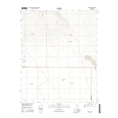
2015 Map of White Hills
USGS Topo · Published 2015About this map
The White Hills rise above the transition between the arid expanse of the Mojave Desert and the Indian Wells Valley. This high-desert landscape is defined by its stark geological features and sparse infrastructure, including a series of seasonal Dry Lakes in the western portion of the quadrangle. The map captures a critical intersection of political and topographical boundaries, showing the convergence of Inyo, Kern, and San Bernardino counties.
Find a feature on this map
13 named features on this map. Tap any name to fly to it.
Don’t see what you’re looking for? This feature index may not catch every label — zoom into the map to look around manually.
Map Details
Editions of this 2015 White Hills Map
This is the sole edition of this map. No revisions or reprints were ever made.
Other maps of this area

1915 · Searles Lake
USGS Topo · 1:250,000

1943 · Inyokern
USGS Topo · 1:62,500

1947 · Trona
USGS Topo · 1:250,000

1948 · Trona
USGS Topo · 1:250,000

1953 · Mountain Springs Canyon
USGS Topo · 1:62,500

1953 · Ridgecrest
USGS Topo · 1:62,500

1953 · Trona
USGS Topo · 1:250,000

1954 · Little Lake
USGS Topo · 1:62,500

1957 · Trona
USGS Topo · 1:250,000

1960 · Trona
USGS Topo · 1:250,000