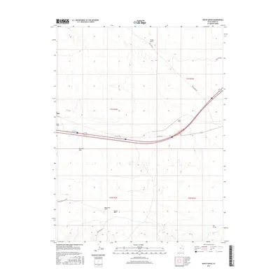
2017 Map of White House
USGS Topo · Published 2017About this map
White House and the small settlement of Elba sit within a high desert landscape dominated by the arid expanse of the Mancos Desert-Central. This 2017 survey details a region shaped by ephemeral drainage systems like Saleratus Wash, Monument Wash, and Dugout Wash, which carve through the terrain south of the Monument Hills. The transportation network is a primary focus, illustrating the path of the Interstate alongside the older alignment of Old Hwy Cisco. To the north, the elevation rises toward Windy Mesa, accessed by Windy Mesa Rd, while the eastern portion of the map is marked by the rugged topography of San Arroyo and the vicinity of Cisco Springs. This map effectively documents the intersection of modern infrastructure and traditional desert landforms in Grand County.
Find a feature on this map
17 named features on this map. Tap any name to fly to it.
Don’t see what you’re looking for? This feature index may not catch every label — zoom into the map to look around manually.
Map Details
Editions of this 2017 White House Map
This is the sole edition of this map. No revisions or reprints were ever made.
Other maps of this area

1885 · East Tavaputs
USGS Topo · 1:250,000

1885 · La Sal
USGS Topo · 1:250,000

1955 · Mt. Waas 2 SE
USGS Topo · 1:24,000

1956 · Moab
USGS Topo · 1:250,000

1956 · Grand Junction
USGS Topo · 1:250,000

1958 · Thompson
USGS Topo · 1:62,500

1958 · Cisco
USGS Topo · 1:62,500

1959 · Grand Junction
USGS Topo · 1:250,000

1959 · Moab
USGS Topo · 1:250,000

1960 · Moab
USGS Topo · 1:250,000