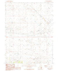
1991 Map of White House
USGS Topo · Published 1991About this map
Windy Mesa dominates the northern reaches of this high-desert landscape in Grand County, where the remnants of transportation history define the terrain. The presence of an Old Railroad Grade and Old RR Grade running parallel to the modern rail line reveals the evolution of transport through this arid corridor. Near the small settlement of White House, several seeps and springs provided essential water sources in an otherwise dry environment, supporting a scattering of agricultural and ranching features like a Corral and Cistern.
Find a feature on this map
27 named features on this map. Tap any name to fly to it.
Don’t see what you’re looking for? This feature index may not catch every label — zoom into the map to look around manually.
Map Details
Editions of this 1991 White House Map
This is the sole edition of this map. No revisions or reprints were ever made.
Other maps of this area

1885 · East Tavaputs
USGS Topo · 1:250,000

1885 · La Sal
USGS Topo · 1:250,000

1955 · Mt. Waas 2 SE
USGS Topo · 1:24,000

1956 · Moab
USGS Topo · 1:250,000

1956 · Grand Junction
USGS Topo · 1:250,000

1958 · Thompson
USGS Topo · 1:62,500

1958 · Cisco
USGS Topo · 1:62,500

1959 · Grand Junction
USGS Topo · 1:250,000

1959 · Moab
USGS Topo · 1:250,000

1960 · Moab
USGS Topo · 1:250,000