
1962 Map of White Mtn. Peak
USGS Topo · Published 1964About this map
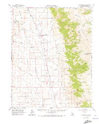
White Mountains high-altitude terrain and the deep agricultural and mining history of Hamil Valley define this early 1960s survey. The landscape is punctuated by numerous family operations including Hammil Ranch, Symons Ranch, and the Harris Bros Ranch, illustrating the ranching economy of the era. To the west, the Volcanic Tableland and Blind Spring Hill are marked by a density of extractive industries such as the Yellowjacket Mine and the Silver Reef Mine.
Find a feature on this map
71 named features on this map. Tap any name to fly to it.
Don’t see what you’re looking for? This feature index may not catch every label — zoom into the map to look around manually.
Map Details
Editions of this 1962 White Mtn. Peak Map
3 editions found
Other maps of this area

1912 · Mt. Goddard
USGS Topo · 1:125,000

1913 · Bishop
USGS Topo · 1:125,000

1914 · Mt. Morrison
USGS Topo · 1:125,000

1917 · White Mountain
USGS Topo · 1:125,000

1947 · Mariposa
USGS Topo · 1:250,000

1948 · Mariposa
USGS Topo · 1:250,000

1949 · Mt. Tom
USGS Topo · 1:62,500

1949 · Bishop
USGS Topo · 1:62,500

1951 · Mt. Tom
USGS Topo · 1:62,500

1951 · Bishop
USGS Topo · 1:62,500