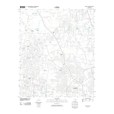
2010 Map of White Oak
USGS Topo · Published 2010About this map
The East Texas Oil Field defines the industrial landscape of Gregg County in this early 21st-century record, where residential expansion increasingly intersects with historical petroleum infrastructure. Energy production is central to the area's development, evidenced by the Warren Refinery, the Arkansas Gasoline Plant, and worker-centric settlements like Amerada Camp and Atlantic Camp. These sites reflect the region's long-standing reliance on the oil industry, which shaped the growth of communities such as White Oak and the western edge of Longview.
Find a feature on this map
95 named features on this map. Tap any name to fly to it.
Don’t see what you’re looking for? This feature index may not catch every label — zoom into the map to look around manually.
Map Details
Editions of this 2010 White Oak Map
This is the sole edition of this map. No revisions or reprints were ever made.
Other maps of this area

1936 · Kilgore
USGS Topo · 1:48,000

1940 · Kilgore
USGS Topo · 1:62,500

1956 · Tyler
USGS Topo · 1:250,000

1958 · Tatum
USGS Topo · 1:62,500

1960 · White Oak
USGS Topo · 1:24,000

1960 · Gilmer
USGS Topo · 1:24,000

1960 · Glenwood
USGS Topo · 1:24,000

1960 · Gladewater
USGS Topo · 1:24,000

1962 · Ashland
USGS Topo · 1:24,000

1962 · Longview Heights
USGS Topo · 1:24,000