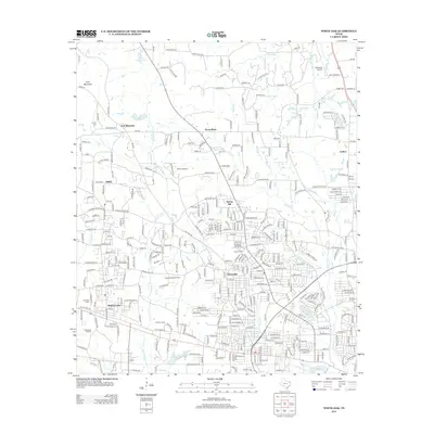
2013 Map of White Oak
USGS Topo · Published 2013About this map
The East Texas Oil Field and industrial refining infrastructure dominate this landscape, illustrating the region's enduring energy legacy into the early twenty-first century. Dense clusters of wells and facilities like the Warren Refinery and Arkansas Gasoline Plant sit adjacent to growing residential developments in White Oak and Teneryville. The topography transitions from the elevated East Mountain and its associated E Mtn Cem in the northwest down toward the sprawling suburban interface of Spring Hill and Judson. A complex network of local creeks, including Hawkins Cr, Witcher Cr, and Grace Cr, weaves through the neighborhoods and industrial sites. Small lakes such as Lake Harris and Lake Lamond dot the southern half of the map, while the Tailwheel Airport in the northeast highlights the area's light aviation activity.
Find a feature on this map
352 named features on this map. Tap any name to fly to it.
Don’t see what you’re looking for? This feature index may not catch every label — zoom into the map to look around manually.
Map Details
Editions of this 2013 White Oak Map
This is the sole edition of this map. No revisions or reprints were ever made.
Other maps of this area

1936 · Kilgore
USGS Topo · 1:48,000

1940 · Kilgore
USGS Topo · 1:62,500

1956 · Tyler
USGS Topo · 1:250,000

1958 · Tatum
USGS Topo · 1:62,500

1960 · White Oak
USGS Topo · 1:24,000

1960 · Gilmer
USGS Topo · 1:24,000

1960 · Glenwood
USGS Topo · 1:24,000

1960 · Gladewater
USGS Topo · 1:24,000

1962 · Ashland
USGS Topo · 1:24,000

1962 · Longview Heights
USGS Topo · 1:24,000