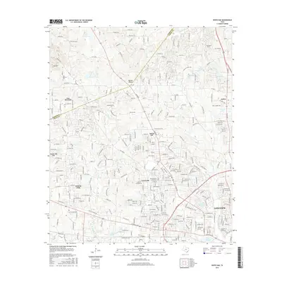
2016 Map of White Oak
USGS Topo · Published 2016About this map
The city of White Oak and the western reaches of Longview anchor this East Texas landscape, where suburban growth meets the persistent hydrology of the Piney Woods. The terrain is defined by a dense network of small watercourses, including Witcher Cr, Hawkins Cr, and Grace Cr, which feed into numerous private and public impoundments such as Lake Harris, Cook Lake, and Virginia Lakes.
Find a feature on this map
284 named features on this map. Tap any name to fly to it.
Don’t see what you’re looking for? This feature index may not catch every label — zoom into the map to look around manually.
Map Details
Editions of this 2016 White Oak Map
This is the sole edition of this map. No revisions or reprints were ever made.
Other maps of this area

1936 · Kilgore
USGS Topo · 1:48,000

1940 · Kilgore
USGS Topo · 1:62,500

1956 · Tyler
USGS Topo · 1:250,000

1958 · Tatum
USGS Topo · 1:62,500

1960 · White Oak
USGS Topo · 1:24,000

1960 · Gilmer
USGS Topo · 1:24,000

1960 · Glenwood
USGS Topo · 1:24,000

1960 · Gladewater
USGS Topo · 1:24,000

1962 · Ashland
USGS Topo · 1:24,000

1962 · Longview Heights
USGS Topo · 1:24,000