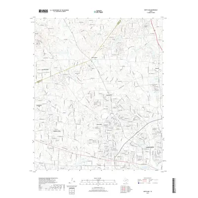
2019 Map of White Oak
USGS Topo · Published 2019About this map
White Oak and the northwestern reaches of Longview dominate this Gregg County landscape, illustrating the modern residential expansion and industrial footprint of the region. The map reveals a dense network of suburban developments intermixed with pockets of rural heritage, such as Teneryville and Spring Hill. Significant infrastructure is visible, including the Tailwheel Airport in the northeast and numerous small reservoirs like Lake Lamond and Cook Lake that dot the southern drainage patterns.
Find a feature on this map
317 named features on this map. Tap any name to fly to it.
Don’t see what you’re looking for? This feature index may not catch every label — zoom into the map to look around manually.
Map Details
Editions of this 2019 White Oak Map
This is the sole edition of this map. No revisions or reprints were ever made.
Other maps of this area

1936 · Kilgore
USGS Topo · 1:48,000

1940 · Kilgore
USGS Topo · 1:62,500

1956 · Tyler
USGS Topo · 1:250,000

1958 · Tatum
USGS Topo · 1:62,500

1960 · White Oak
USGS Topo · 1:24,000

1960 · Gilmer
USGS Topo · 1:24,000

1960 · Glenwood
USGS Topo · 1:24,000

1960 · Gladewater
USGS Topo · 1:24,000

1962 · Ashland
USGS Topo · 1:24,000

1962 · Longview Heights
USGS Topo · 1:24,000