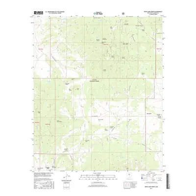
2017 Map of White Oaks North
USGS Topo · Published 2017About this map
Jicarilla and White Oaks anchor this high-altitude landscape within the Lincoln National Forest, where the complex terrain of the Jicarilla Mountains meets a network of vital water resources. The map highlights the intersection of early settlement and resource management, evidenced by numerous man-made catchments like Lacy Tank and Section Eighteen Tank scattered across the land. Genealogy researchers will find significant landmarks at the Jicarilla Cem and the Reventon Cem, which sit near the ephemeral flows of Reventon Draw. The presence of the Bullion Loop near White Oaks points to the area's legacy of development, while topographical features such as Castle Garden Mesa and Monument Peak define the physical boundaries of this high-country territory.
Find a feature on this map
61 named features on this map. Tap any name to fly to it.
Don’t see what you’re looking for? This feature index may not catch every label — zoom into the map to look around manually.
Map Details
Editions of this 2017 White Oaks North Map
This is the sole edition of this map. No revisions or reprints were ever made.
Other maps of this area

1934 · Capitan
USGS Topo · 1:48,000

1937 · Capitan
USGS Topo · 1:62,500

1938 · Carrizozo
USGS Topo · 1:48,000

1943 · Carrizozo
USGS Topo · 1:62,500

1950 · Carrizozo
USGS Topo · 1:62,500

1950 · Little Black Peak
USGS Topo · 1:62,500

1955 · Roswell
USGS Topo · 1:250,000

1958 · Roswell
USGS Topo · 1:250,000

1962 · Roswell
USGS Topo · 1:250,000

1973 · Ancho
USGS Topo · 1:24,000