
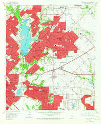
1957 Map of White Rock Lake
USGS Topo · Published 1959About this map
White Rock Lake serves as the focal point of this mid-century survey, capturing the eastward expansion of Dallas into former agricultural land. The map reveals a landscape in rapid transition, where established rural landmarks like the Buckner Orphans Home and Grove Hill Memorial Park (Cemetery) are increasingly surrounded by the grid of new residential developments such as Reinhardt and Rawlins. Aviation history is well-represented by both White Rock Airport and Garland Airport, reflecting the era's regional infrastructure. Transportation corridors such as the Santa Fe and Texas and New Orleans Railroad intersect with the burgeoning highway network, including the Veterans of World War II Memorial Highway. Numerous neighborhood institutions, from Lakewood Sch to Shiloh Road Ch, anchor these developing communities.
Find a feature on this map
126 named features on this map. Tap any name to fly to it.
Don’t see what you’re looking for? This feature index may not catch every label — zoom into the map to look around manually.
Map Details
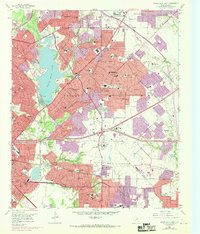
Editions of this 1957 White Rock Lake Map
Other maps of this area

1891 · Dallas
USGS Topo · 1:125,000

1893 · Dallas
USGS Topo · 1:125,000

1931 · Carrollton
USGS Topo · 1:62,500

1954 · Dallas
USGS Topo · 1:250,000

1958 · Dallas
USGS Topo · 1:250,000

1958 · Hutchins
USGS Topo · 1:24,000

1958 · Oak Cliff
USGS Topo · 1:24,000

1958 · Dallas
USGS Topo · 1:24,000

1958 · White Rock Lake
USGS Topo · 1:24,000

1959 · Mesquite
USGS Topo · 1:24,000