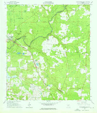
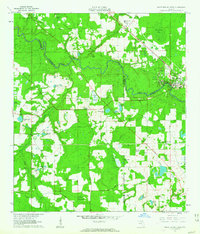
1961 Map of White Springs East
USGS Topo · Published 1975About this map
The Suwannee River carves a winding path across this landscape, defining the boundary between Hamilton and Columbia counties and featuring the dramatic Big Shoals and Little Shoals. Along its banks, the community of White Springs serves as a focal point, supported by the Riverside Cem and Carver High Sch. The presence of several rural congregations, such as St Pauls Ch, Corinth Ch, and New Mt Zion Ch, reflects the distributed settlement patterns of the early 1960s.
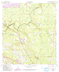
Find a feature on this map
62 named features on this map. Tap any name to fly to it.
Don’t see what you’re looking for? This feature index may not catch every label — zoom into the map to look around manually.
Map Details
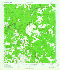
Editions of this 1961 White Springs East Map
3 editions found
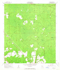
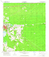
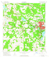
Other maps of this area

1954 · Valdosta
USGS Topo · 1:250,000

1958 · Valdosta
USGS Topo · 1:250,000

1959 · Valdosta
USGS Topo · 1:250,000
1961 · Deep Creek
USGS Topo · 1:24,000
1961 · White Springs East
USGS Topo · 1:24,000
1961 · White Springs West
USGS Topo · 1:24,000
1962 · Genoa
USGS Topo · 1:24,000
1962 · Lake City East
USGS Topo · 1:24,000
1963 · Lake City West
USGS Topo · 1:24,000

1969 · Wellborn
USGS Topo · 1:24,000